

| Technical Name | 5D SmartES | ||
|---|---|---|---|
| Project Operator | National Center foe Research on Earthquake Engineering, NIAR | ||
| Project Host | 王仁佐 | ||
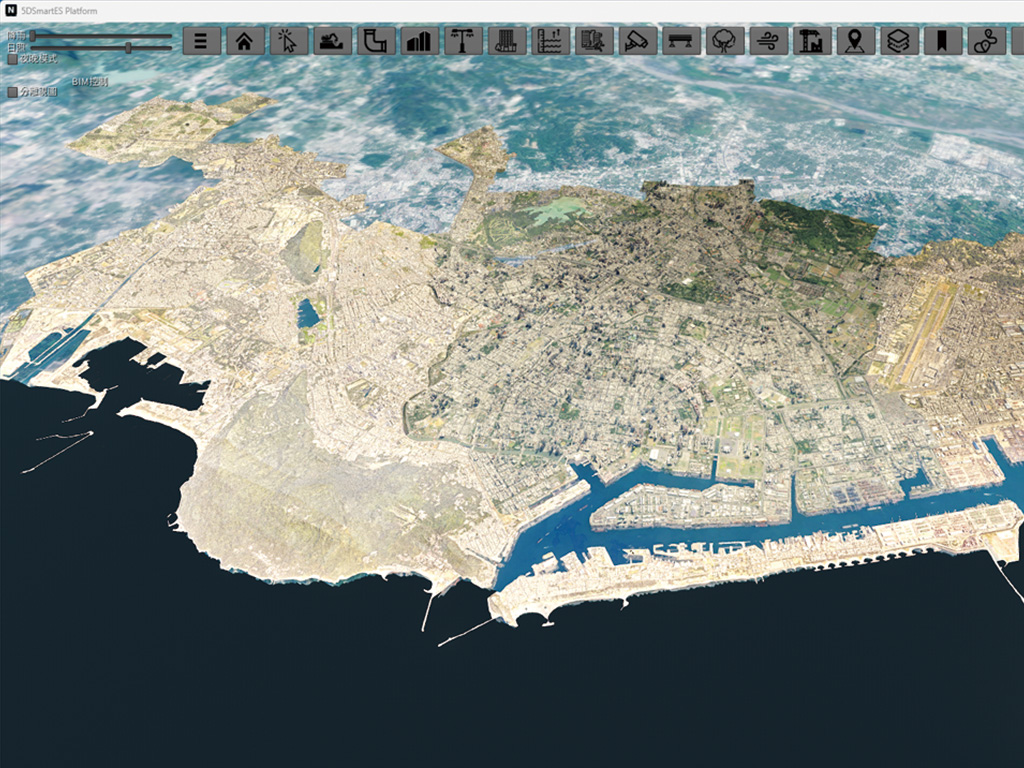
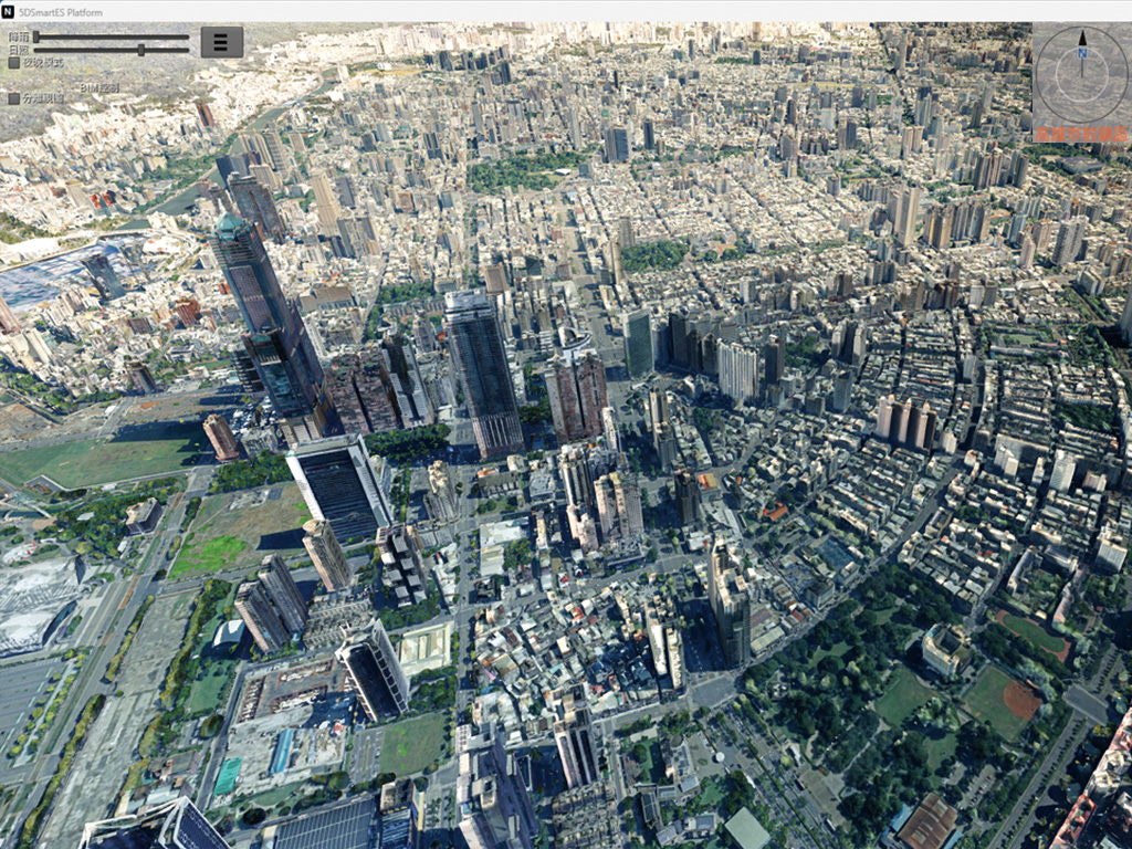
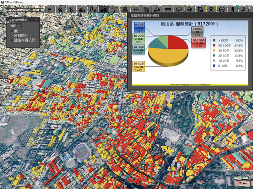
| Summary | The 5D SmartES Platform integrates BIM, GIS, AI, and IoT sensor data, enabling real-time monitoring of the seismic safety of bridges, street trees, utility lines, and buildings, to enhance the city’s resilience to disasters. |
||
| Scientific Breakthrough | 24 algorithms combining structural mechanics, deep learning, and satellite image analysis, the platform holds third-party carbon emissions certification in Germany, and has been validated through multiple field tests during typhoons and earthquakes. |
||
| Industrial Applicability | Used for smart city development by local governments, public works management, disaster prevention and response decisions, urban renewal, and the coordination of resources across departments on public works, water resources, and transportation. |
||
- Contact
- Ren-Zuo Wang
- rzwang@niar.org.tw
other people also saw