

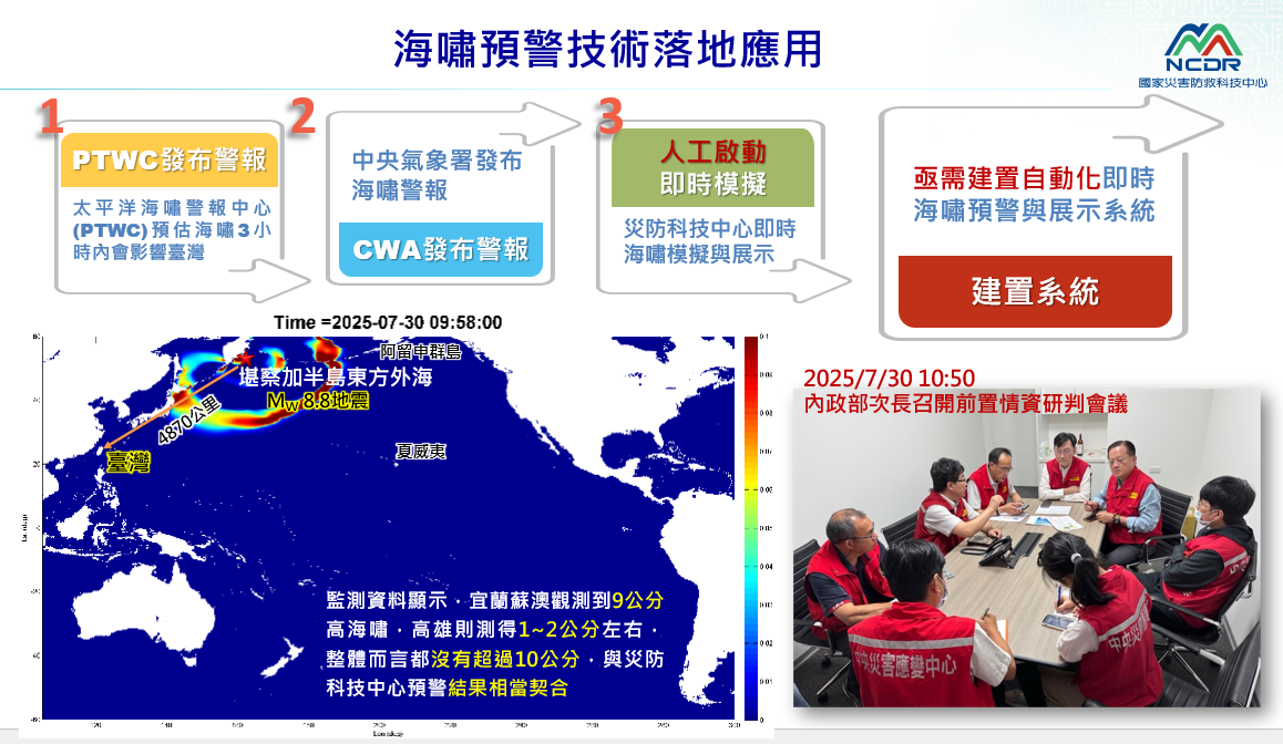
| Technical Name | GPU加速秒級智慧海嘯預警系統 | ||
|---|---|---|---|
| Project Operator | National Science and Technology Center for Disaster Reduction (NCDR) | ||
| Project Host | 陳宏宇 | ||
| Summary | GPU-Accelerated Second-Level Smart Tsunami Early Warning System |
||
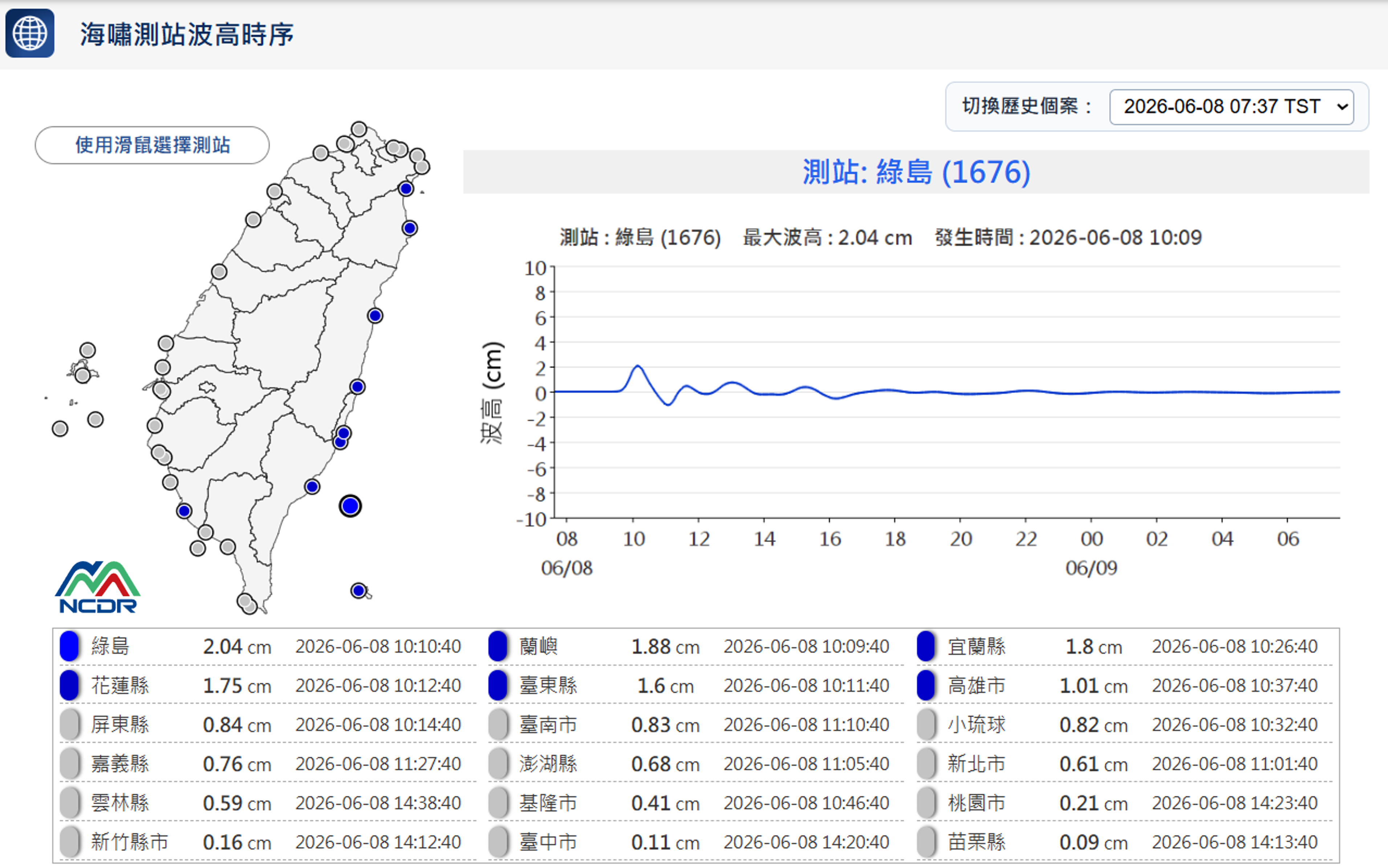
| Scientific Breakthrough | The moment an earthquake occurs, the system automatically activates and integrates real-time USGS global seismic data. Within 30 seconds, it completes tsunami simulation, warning generation, and visualization — delivering end-to-end results from the open ocean to Taiwan’s coastlines for rapid decision support. Linked to global USGS seismic data, it completes simulation, warning, and visualization in under 30 seconds—from the open ocean all the way to your shoreline. |
||
| Industrial Applicability | Previously limited by CPU performance, tsunami simulations were time-consuming and often forced to use reduced nearshore resolution, making it difficult to balance basin-wide and coastal accuracy. With GPU acceleration, computational speed improves by 4–7×, enabling simultaneous basin-wide propagation and high-resolution nearshore modeling in a single run. This significantly shortens warning generation time while enhancing the accuracy of coastal wave height and inundation risk assessments. |
||
- Contact
- Wei-Bo Chen
- wbchen@ncdr.nat.gov.tw
other people also saw