

| Technical Name | Disaster Intelligence Network: AI-enabled Disaster Intelligence Integration and Decision Support Platform | ||
|---|---|---|---|
| Project Operator | National Science and Technology Center for Disaster Reduction (NCDR) | ||
| Project Host | 陳宏宇 | ||
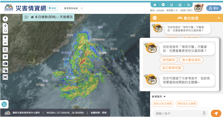
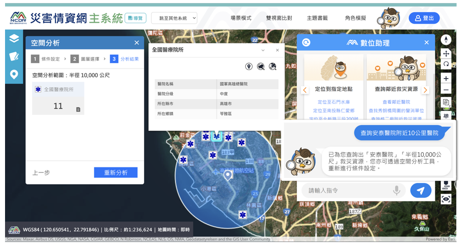
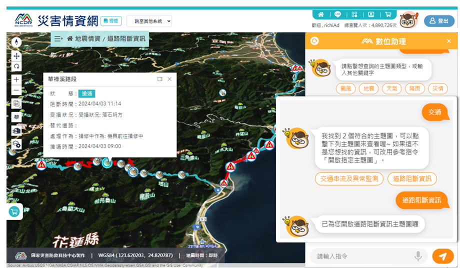
| Summary | The Disaster Intelligence Network integrates meteorological, hydrological, seismic, transportation, CCTV, disaster reports, and news data into a unified platform. By combining GIS, Generative AI, and 3D visualization technologies, it provides natural language queries, disaster event summaries, spatial analysis, and decision support. The platform helps emergency operation centers quickly understand disaster situations, improve cross-agency information sharing, and enhance emergency response efficiency. |
||
| Scientific Breakthrough | The platform introduces Generative AI for natural language querying, automatic disaster summarization, and intelligent decision support. It integrates real-time monitoring data with 3D GIS visualization, emergency operation simulations, and AI assistants to establish a next-generation disaster intelligence platform. |
||
| Industrial Applicability | The technology could be applied to national and local emergency operation centers, fire departments, police agencies, water resources management, transportation management, and smart city applications. It could also support infrastructure monitoring and enterprise emergency management. |
||
- Contact
- Wen Ray Su
- wrsu@ncdr.nat.gov.tw
other people also saw